8 HARTFORD STREET
Owner Information
KIRKORIAN CHRISTOPHER PAUL
8 HARTFORD STREET
SALEM, MA 01970


Property Details
8 HARTFORD STREET is classified as a Single Family Residential (Split entry).
The primary structure on this property was built in 1970. There are 986ft2 of built area within this property. There is 986ft2 of residential/living space within this property. This property is listed as having 5 rooms.
8 HARTFORD STREET is valued at $378,700. The land is valued at $175,000 and the structures are valued at $203,700.
This property is in Zone R1. Confirm with local Zoning Board authorities to ensure there are no overlays or other easements on this property.
The most recent deed for 8 HARTFORD STREET is recorded at the local registrar in Book 38858, Page 113. 8 HARTFORD STREET was last sold on Tuesday, August 25, 2020 for $0.
Assessment data from fiscal year 2022.
Flood Data
According to the FEMA National Flood Hazard Layer, this property does not appear to be in a flood zone. It may also be in an area not yet reviewed. Nonetheless, confirm this information prior to taking any action.
To view the flood hazards around this property, create a FEMA "Firmette" Map of the area around 8 HARTFORD STREET.
Broadband Internet Providers
| Provider | Type | Bandwidth (mbps) | |
|---|---|---|---|
| Comcast | Cable | 1000 | 35 |
| VSAT Systems, LLC. | Satellite | 2 | 1 |
| HughesNet | Satellite | 25 | 3 |
| GCI Communication Corp. | Satellite | 0 | 0 |
| Viasat Inc | Satellite | 100 | 3 |
| Verizon New England Inc. | DSL | 7 | 0 |
Broadband service provider data from December 2020.
Adjacent Properties
- 6 HARTFORD STREET
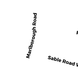
Single Family Residential owned by CRUZ MATT - 19 SABLE ROAD WEST
Single Family Residential owned by GIRARD JOHN JOSEPH - 10 HARTFORD STREET
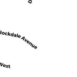
Single Family Residential owned by FRAYLER FAMILY LIVING TRUST - 5 ROCKDALE AVENUE
Single Family Residential owned by PROVOST DONALD R - 17 SABLE ROAD WEST
Single Family Residential owned by REVOCABLE TRUST OF GEORGE J GA - 11 ROCKDALE AVENUE
Single Family Residential owned by NGUYEN NGOC VAN